TOWNSHIP

Zoning

Zoning Forms

A conditional use permit is a zoning exception which allows the property owner use of his land in a way not otherwise permitted within the zoning district.

Temporary Permits are intended to allow for the short-term placement of activities on privately owned property.

A variance is a request to deviate from current zoning requirements. If granted, it permits the owner to use the land in a manner not otherwise permitted by the zoning ordinance. It is not a change in the zoning law. Instead, it is a specific waiver of requirements of the zoning ordinance.

An official change in the zoning district of a property, allowing different land uses (residential, commercial, industrial, etc.) and density (number of dwelling units or size of buildings) requirements on that property.

Jefferson Township GIS Map

Jefferson Township GIS Map

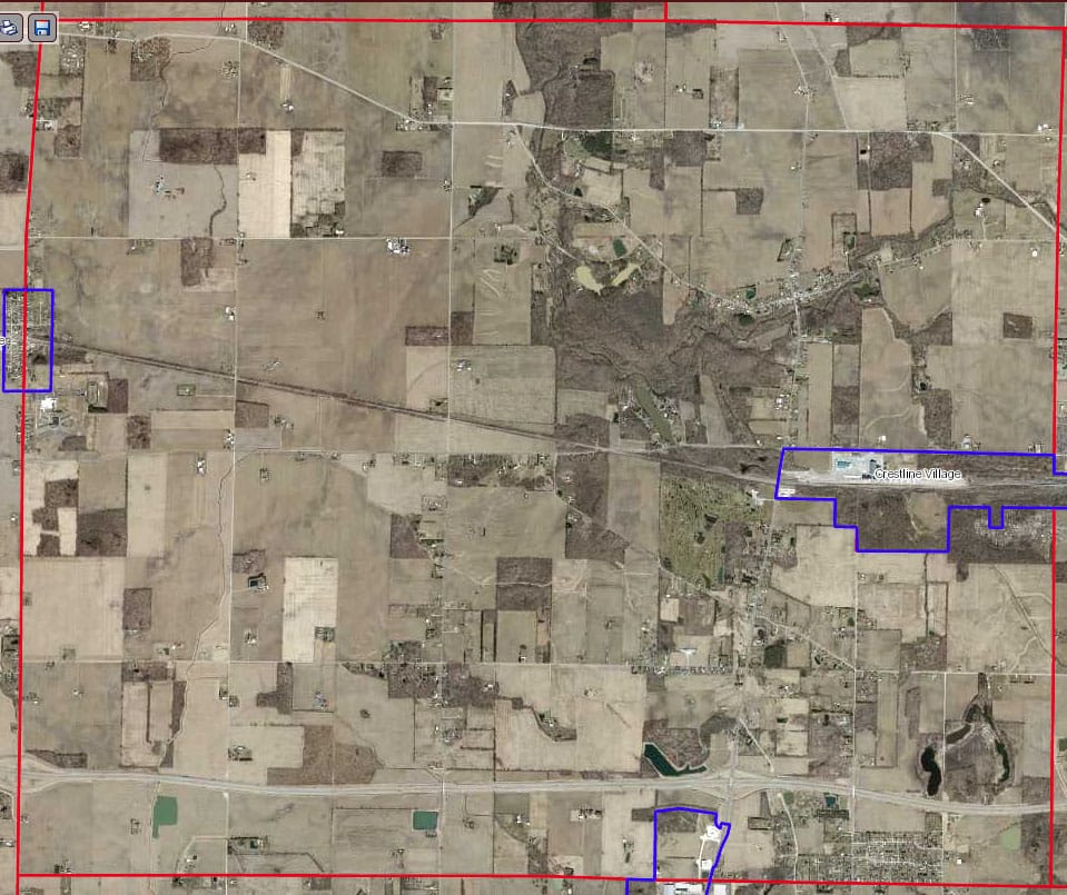
The Crawford County GIS Web Mapping System website shows the boundaries and ownership information of all parcels within the County, as well as city, township, subdivision, tax district, and school district boundaries, all of which overlay an aerial photograph of the entire County.

It also includes road and railroad rights of way, road centerlines, address points, the 100 year floodplain, USDA soil mapping, rivers and streams, and 5 and 10 foot contour lines which show elevation.

Jefferson Township Zoning Resolution

Jefferson Township Zoning Districts

Listed by Parcel Number
All parcels are zoned A-1 and R-1 Agricultural/Residential unless listed below

Scroll to Top